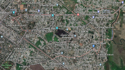
Part: 2 (The old Town)
 |
| Old town satellite map |
 |
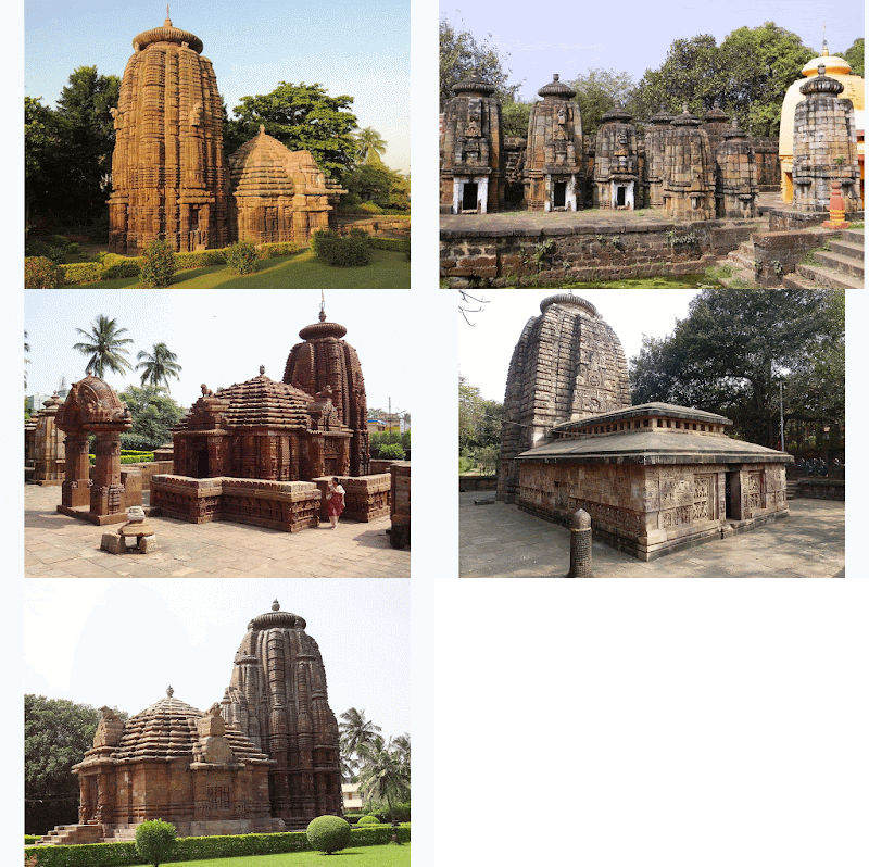
| Shiva Temples |
The name Bhubaneswar falls from the fact that, Shiva’s other name was “Tribhubaneswara” or “Bhubaneswara” and since the Ekamra Khsetra was surrounded by the temples of Shiva, it was attracting more people to gather, trade and live surrounding these temples eventually forming a town called Bhubaneswar. After independence, Jawahar Lal Neheru led the foundation and shifted the Capital of Odisha from Cuttack to Bhubaneswar around 1948.
The old town area is a congested area now days. The poor architecture and infrastructure literally justifies its name. The narrow gullies make it hard for modern transportation to explore the area. Colonies like lingaraj colony, rajarani colony, pandav nagar, brahmeshwar bagh, Bhimatangi, Gauri nagar etc. conglomerate to form a densely populated region enveloped in a small area.
But the historical importance of pure kalinga architecture attracts many tourists from national and even international lands to visit this place and admire the ancient wonders of the past. Apart from Lingaraj temple, Mukteshwar temple, Rajarani temple, Parsuramesar temple, Astasambhu temple, Nageshwar temple, Megheswar temple, Yameshwar temple, Lakheswar temple and many more are the landmarks of exquisite architecture situated in this tract.
Ekamra Khsetra, the old Bhubaneswar Zone
being the central part of BDPA is defined as a Socio-Cultural hub and plans are
being made to preserve and restore the culturally impactful heritage of the
city. The housing space is pretty congested as it was the first area to get
crowded after the foundation of the city. Thus, not much of planning or
designing is required but the maintenance prospectus will play a vital role in
the coming future.
 |
| Water ways |
As per the Comprehensive Developmental Plan (CDP)
2030 for Bhubaneswar Development Plan area (BDPA), a brief report by
architectural division, IIT Kgp, an attempt to revive the historical navigation
is going to take place stretching from Sribantapur-Sisupal-Ekamra Khsetra.
Previously the Gangua nallah was used as a mode of navigation as well as
transportation (In land Water ways) which with time and urbanization vanished.
Efforts are being made under the garland lake system, one of the seven
corridors proposed in the report emphasizing to build a series of lakes
alongside Gangua Nallah which may restore the lost historical essence.
The next blog will continue with the the planned city (the new town area), a brief description of geography and related conjuncts. It will be followed with possible developmental areas, some salient feature included in city developmental plan of 2030 report, geographical area at a glance.
nicely portrayed (Y)
ReplyDelete